Every year, floods and debris flows in the mountainous regions of the Kyrgyz Republic pose a threat to homes, roads, and agricultural lands. To reduce these risks, engineering solutions are being implemented to contain and direct the destructive force of water. Under the Kyrgyz Republic Resilient Landscape Restoration Project (RESILAND Kyrgyzstan), RESILAND CA+ Program, the construction and rehabilitation of debris flow protection structures at 21 sites across four regions of the country have been approved. These measures will help protect approximately 12,000 residential houses, around 10,000 agricultural land plots, as well as roads, power transmission lines, schools, kindergartens, and other infrastructure facilities.
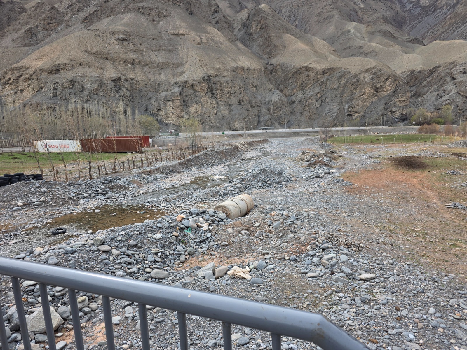
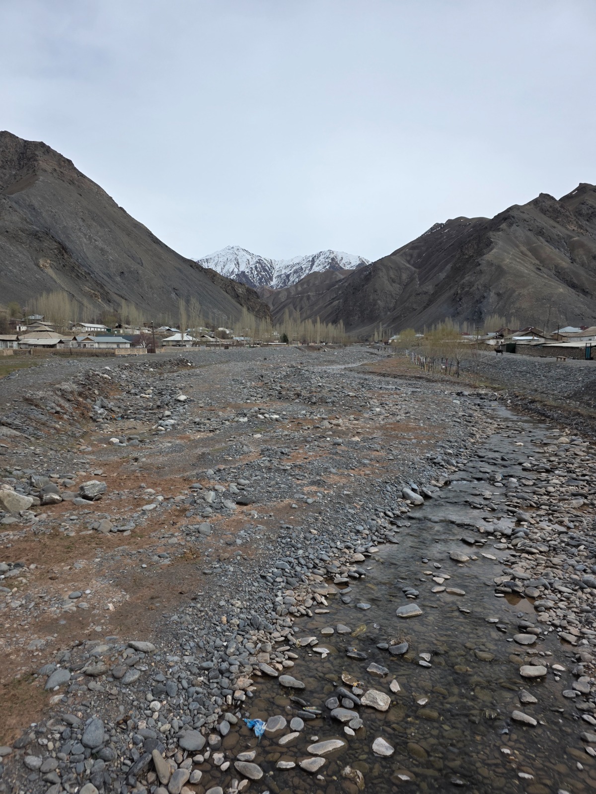
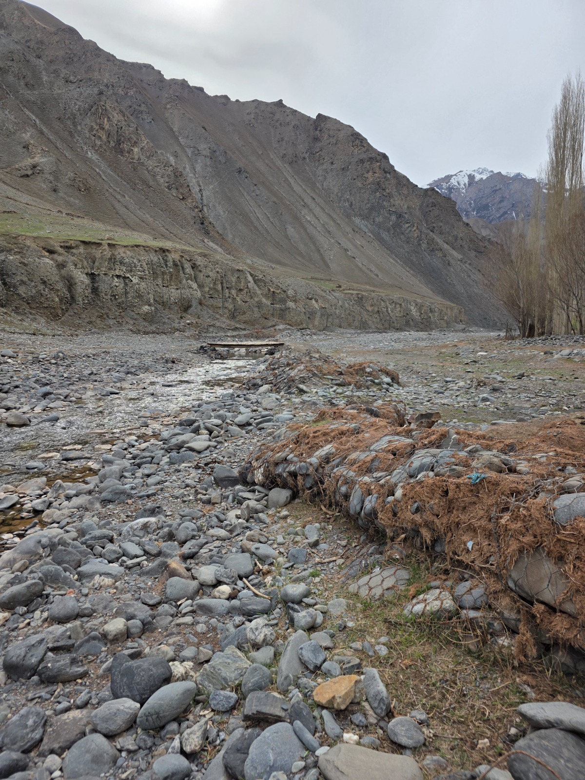
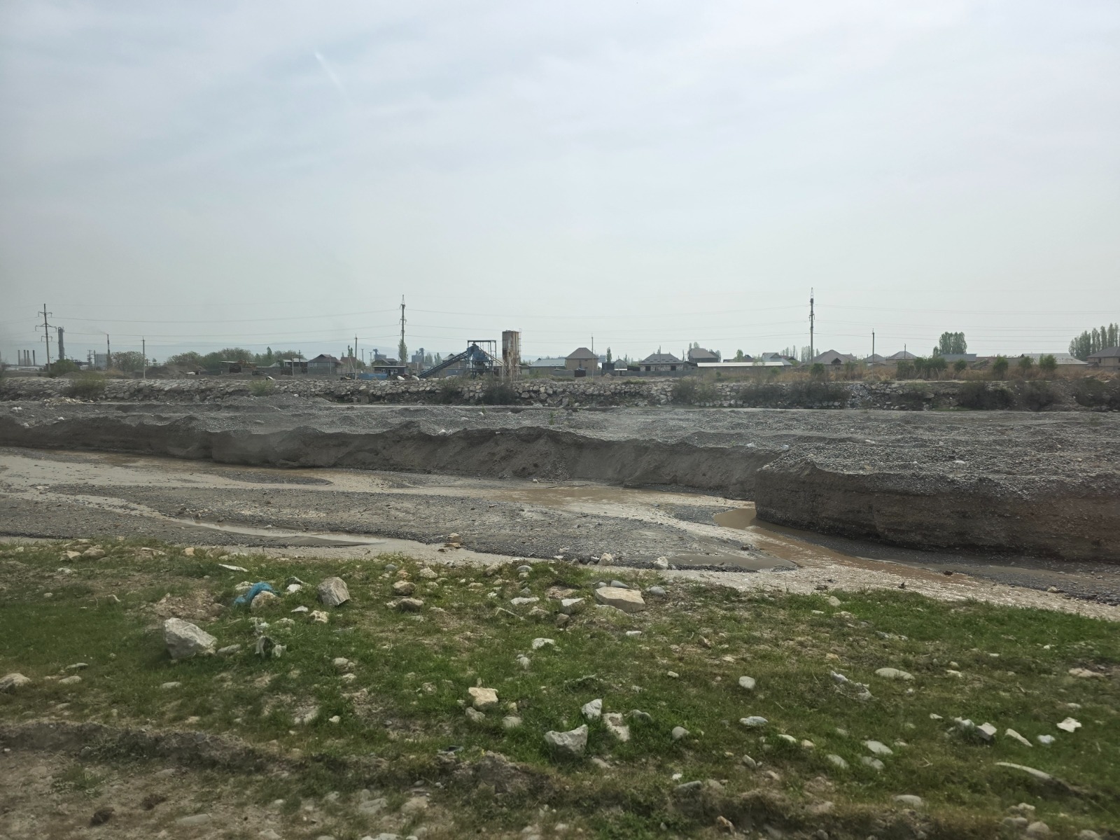
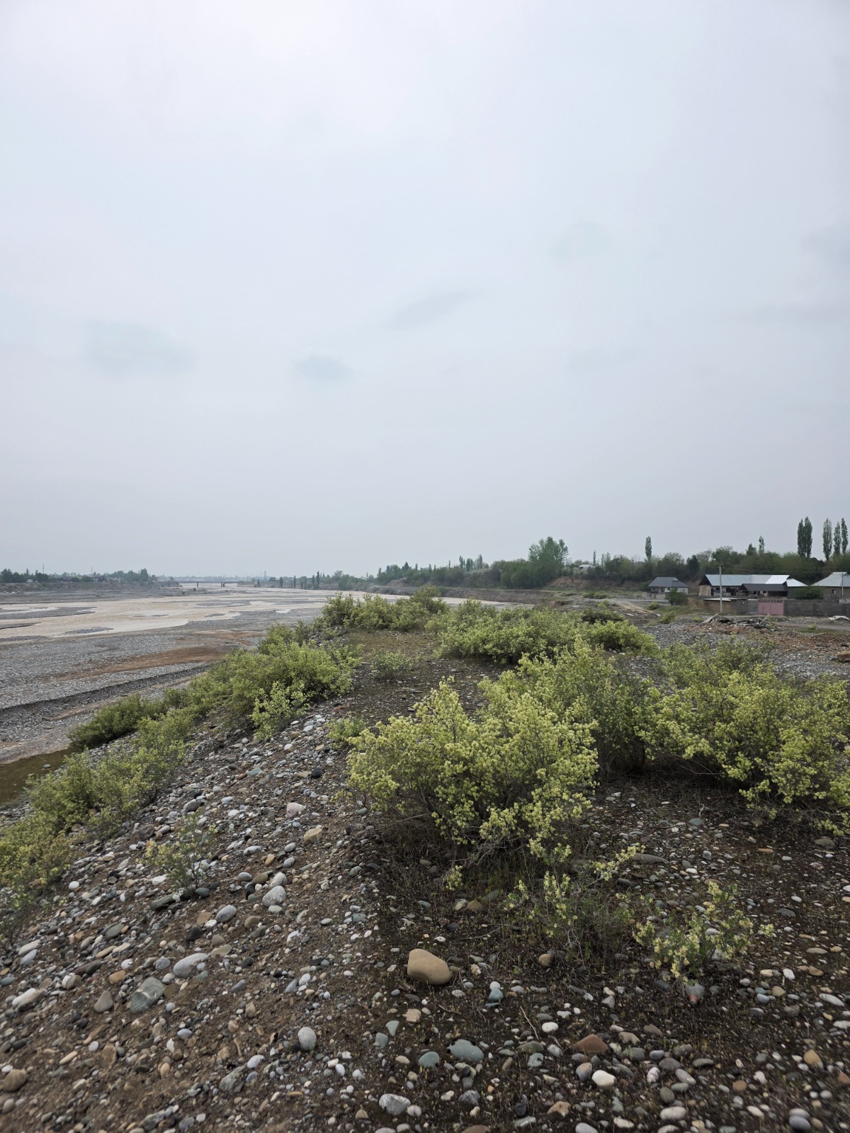
In the mountainous and foothill areas of the Kyrgyz Republic, natural processes—floods, debris flows, and riverbank erosion—remain among the most serious threats to settlements, agricultural lands, and infrastructure. During periods of intense precipitation, water and debris masses can rapidly gain strength, erode riverbanks, damage roads and bridges, and pose risks to residential and social infrastructure. Therefore, the development and modernization of engineering protective structures play a critical role.
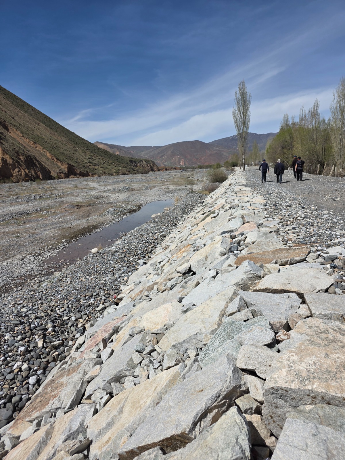
Such structures include dams, spurs, debris retention basins, retaining walls, and other protective hydraulic engineering structures designed to contain, redirect, or reduce the force of debris flows and water. Their purpose is to protect settlements, agricultural lands, roads, bridges, and essential infrastructure from the destructive impacts of debris flows. Depending on natural conditions, various engineering solutions are applied: bank protection dams with stone reinforcement, debris retention structures, debris diversion structures, and debris flow conveyance channels. Typically, these facilities form an integrated protection system that not only restrains the flow but also manages its direction, reduces velocity, and mitigates the destructive force of water and debris masses.
The history of dams spans thousands of years. Since ancient times, people have constructed protective embankments and dams to manage water and protect settlements from flooding. Today, such structures are designed based on hydrological calculations, water flow modeling, and natural risk assessments. This allows for consideration of terrain characteristics, river channel behavior, and the potential force of debris flows.
Under the Kyrgyz Republic Resilient Landscape Restoration Project (RESILAND Kyrgyzstan), RESILAND CA+ Program, the Ministry of Emergency Situations of the Kyrgyz Republic has approved the construction and rehabilitation of debris flow protection structures at 21 sites across four regions—Issyk-Kul, Osh, Naryn, and Jalal-Abad.
The implementation of these measures will significantly reduce debris flow and flood risks for settlements and infrastructure. According to preliminary estimates, the works will ensure protection for approximately 12,000 residential houses and around 10,000 agricultural land plots. In addition, protective structures will reduce risks to social and energy infrastructure, including power transmission lines, roads, bridges, schools, kindergartens, water supply facilities, irrigation networks, and other critical infrastructure.
At present, the design and cost estimates documentation (DED) for priority sites has been completed, providing for the construction of the following protective structures. Construction of the facilities listed below is planned to begin within the current year:
- construction of a protective dam on the Kugart River, “Zhygach-Korgon-1” site, Bagysh Aiyl Aimak;
- construction of a protective dam on the Kugart River, “Zhygach-Korgon-2” site, Bagysh Aiyl Aimak;
- construction of a protective dam on the Aravan-Sai River, Zhany-Aravan village, Pakhta-Tobo site;
- construction of a protective dam on the Gulcha River, Gulcha town, Gulcha Aiyl Aimak, sites “Bus Station, Stadium, Park”;
- construction of a protective dam at the Ottuk site, Ulakhol Aiyl Aimak, Ton District, Issyk-Kul Region;
- construction of a protective dam on the At-Bashy River, Bash-Kaiyndy site, Naryn Region.
As part of the project design preparation, hydrological studies of water flows were also conducted, enabling validation of engineering solutions aimed at reducing debris flow and flood risks. The studies were carried out at the following sites:
- Ottuk site, Ton District, Issyk-Kul Region;
- five sections of the Kugart River in Jalal-Abad Region:
- “Zhygach-Korgon-1” site;
- “Zhygach-Korgon-2” site;
- “Kyzyl-Tuu” site;
- “Bazar-Korgon” site;
- “Yntymak” site.
Subsequent publications will provide more detailed information about these sites, the features of the planned protective structures, and their role in reducing debris flow and flood risks for settlements, agricultural areas, and infrastructure.
The Kyrgyz Republic Resilient Landscape Restoration Project is part of the World Bank’s RESILAND CA+ program, aimed at strengthening landscape resilience across Central Asian countries. Similar national and regional activities are also being implemented in Tajikistan and Uzbekistan.
The Regional Environmental Centre for Central Asia (CAREC) implements the regional component of the Kyrgyz Republic Resilient Landscape Restoration Project.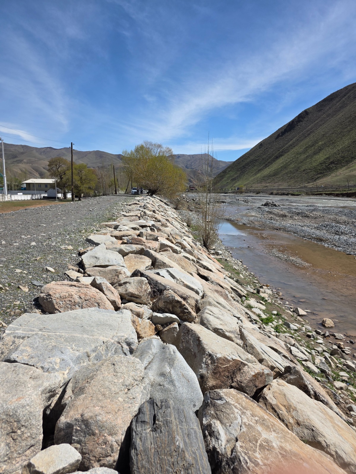
.jpeg)
.jpeg)
.jpeg)
.jpeg)
.jpeg)
.jpeg)
.jpeg)
.jpeg)
Additional Information:
Chinara Berbayeva – Deputy Director, Project Implementation Department under the Ministry of Emergency Situations of the Kyrgyz Republic / Project Manager, RESILAND Kyrgyzstan
Lyudmila Kiktenko – Deputy Team Leader, “Restoration of Sustainable Landscapes in Kyrgyzstan: Regional Component” Project, CAREC