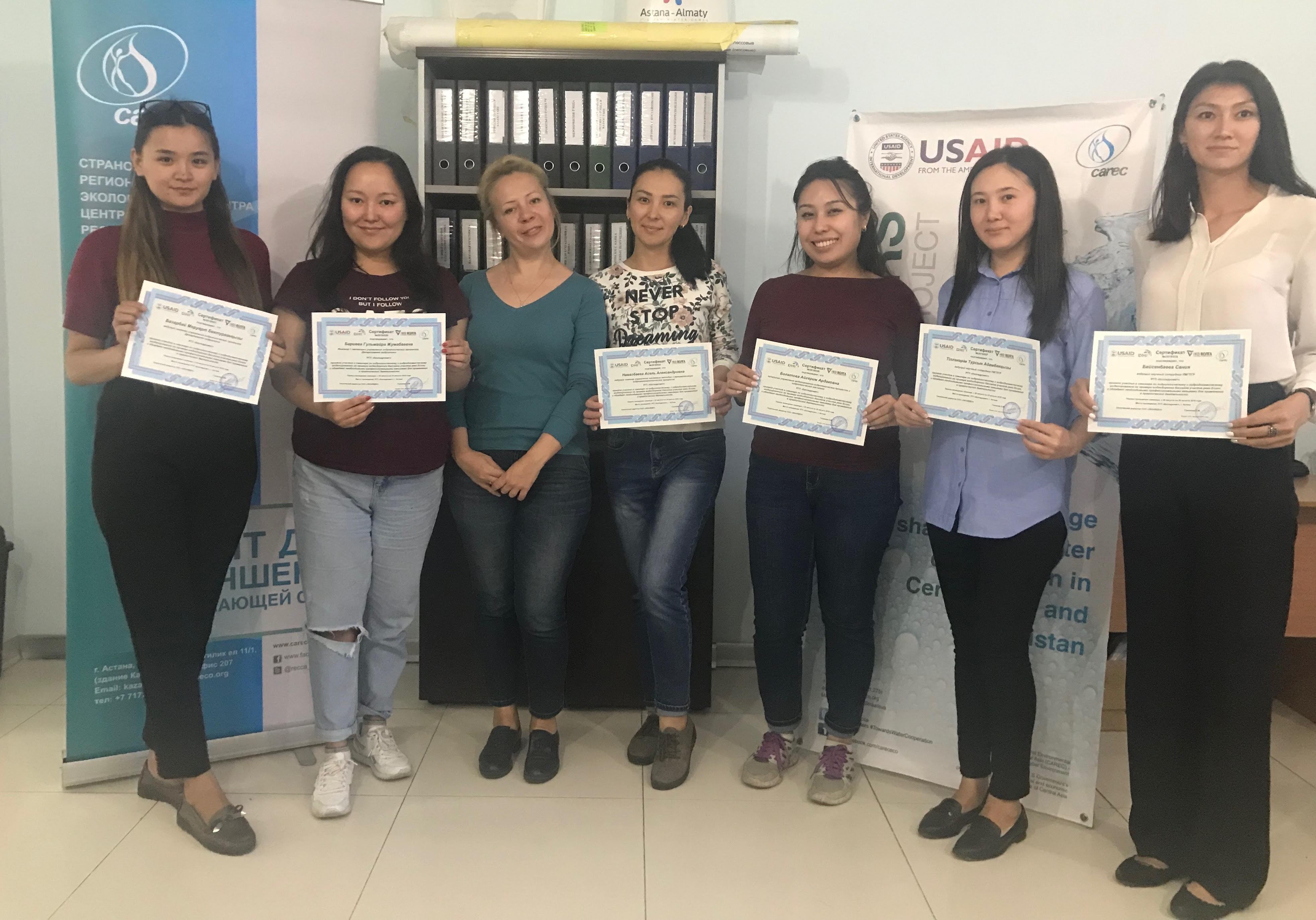
ASTANA. On 20-24 August, a joint CAREC-USAID project Smart Waters held a workshop on a computer modeling to simulate river flows and flood forecasting for the representatives of the Kazakhstan hydrometeorological service (Kazhydromet). During the seminar, the participants learned how to work on the MIKE 11[1] software, which was provided with the support of the Smart Waters project.
It should be noted that this was the second seminar. During the first workshop the specialists of Kazhydromet got acquainted with the general principles of using the MIKE 11 program, while during the second seminar, specialists studied forecasting tools based on long-term data of the Yesil River. The result of the work was a functioning, calibrated model of the Yesil River and its main tributaries.
Currently, methods that were written in the 70s of the 80s of the last century are used for river flow forecasting. These methods are based on statistical dependencies of runoff from various hydrometeorological parameters, and cases of unjustified forecasts are common.
Computer modeling allows making more accurate predictions. High accuracy of forecasts will avoid negative consequences during natural disasters, as well as prevent conflicts between countries. The introduction of the MIKE 11 program into the practice of the RSE ‘Kazhydromet” will allow timely make adjustments to long-term forecasts of the water content of the rivers of Kazakhstan.
Smart Waters project is implemented by CAREC with the financial support of the United States Agency for International Development USAID during the period 2015-2020. The overall objective of the project is to enhance regional cooperation on shared water resources. Specifically, Smart Waters addresses the knowledge dis-lock in the region in the water sector, builds working relations among water managers and specialists, and demonstrates the potential of the basin management approach and cooperation with the academia.
[1] MIKE 11 is a computer program that simulates flow and water level, water quality and sediment transport in rivers, flood plains, irrigation canals, reservoirs and other inland water bodies. It was developed by DHI. MIKE 11 has been used in hundreds of applications around the world. Its main application areas are flood analysis and alleviation design, real-time flood forecasting, dam break analysis, optimization of reservoir and canal gate/structure operations, ecological and water quality assessments in rivers and wetlands, sediment transport and river morphology studies, salinity intrusion in rivers and estuaries.
